Currently we don't have any image for this POI. Be the first to contribute by uploading your images of this POI!
Discovered by mySea
Description
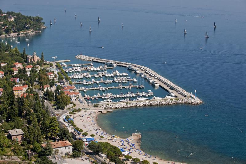
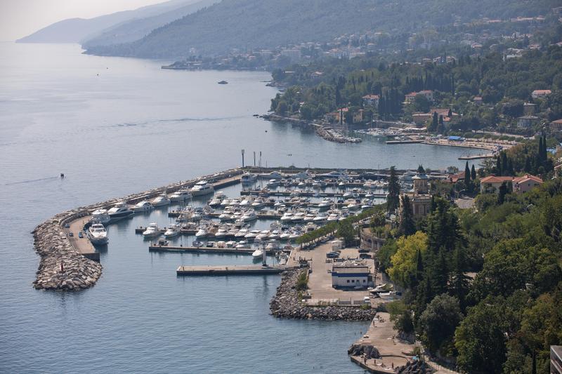
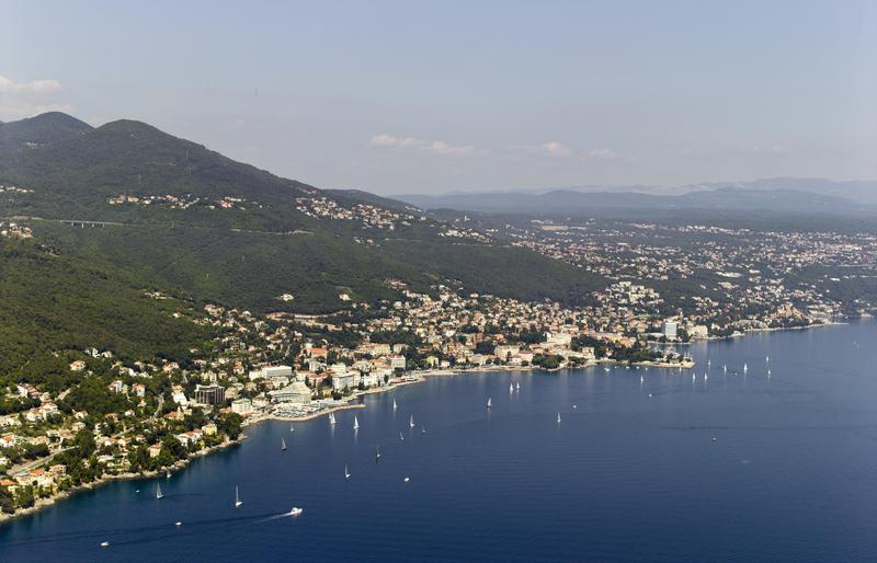
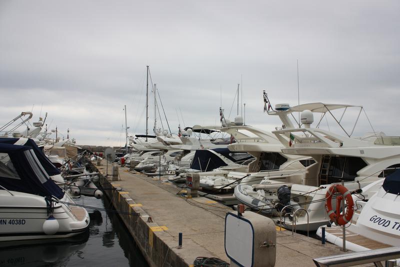
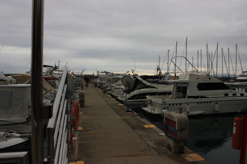
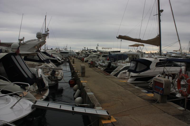
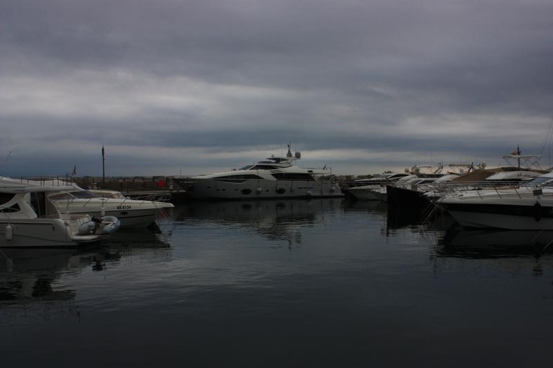
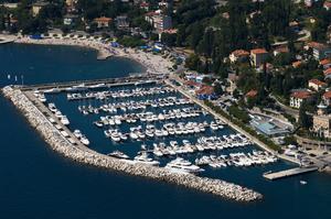
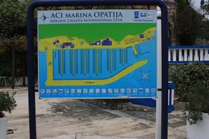
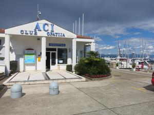
ACI Marina Opatija is located on the northwestern coast of Rijeka Bay in Istria and is an ideal starting point for sailing trips through the islands of Kvarner Bay. The yacht harbour is in the village of Ičići, and is in walking distance to Opatija as they practically border on each other.
ACI Marina Opatija has been awarded the Blue Flag environmental award because of its services, facilit...
ACI Marina Opatija has been awarded the Blue Flag environmental award because of its services, facilit...
Details
- Number of berths:283
- Type of berthing:
- Mooring line
- Berth alongside
- Berth must be paid after: 2 Hours
- Reservation:Possible
- Depth:1.8 - 6 m
- Max length:40 m
- Berthing assistance: Yes
Awards
Blue flagFacilities
Boat lift
Electricity
Ice
Laundry
Parking
Sanitary Facility
Slipway
Waste disposal
Waste recycling
Water
Wi-Fi
Safety
- Protection 24/7
- Camera Surveillance
Wind protection:
Approach
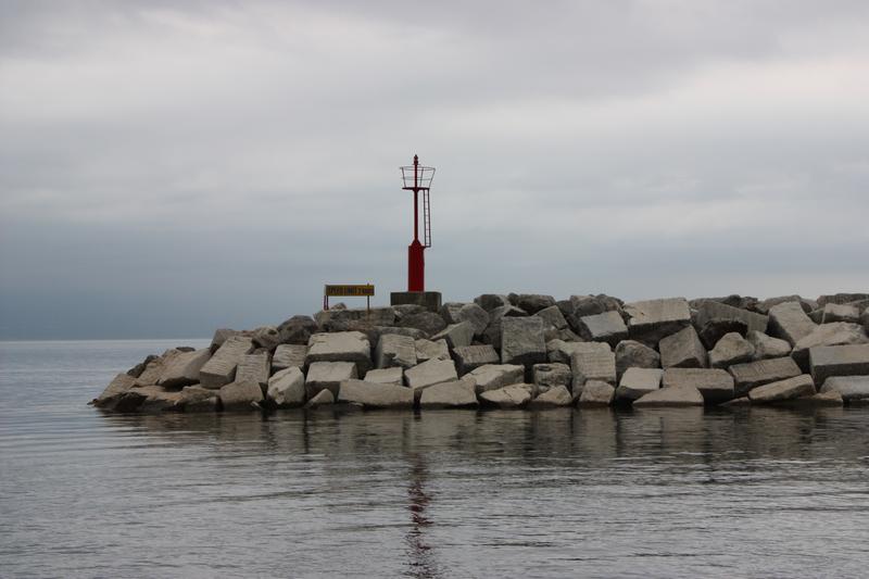
From the sea the marina is easily identified by a breakwater. Entrance to the harbor is from the northeast. At the head of the breakwater there is a lighthouse (Fl R 3s 7m 3M), which can be used as a way point (45°18,9’ N 14°17,8’ E). Sea depth at the entrance to the marina is 7 m. Maximum speed in the marina is 2 knots. Note: Official navigational charts recommended (Official Navigational Charts - publisher HHI Split): 100-18, 50-4 and MK-5.
Opening hours
| Period | Days | Time |
|---|---|---|
| 01.05. - 01.10. | Su Mo Tu We Th Fr Sa | 07:00 - 22:00 |
| 01.10. - 01.05. | Su Mo Tu We Th Fr Sa | 08:00 - 20:00 |
Contacts
Liburnijska cesta bb
Reviews (0)
Location
Nearby points of interest
Eating and Drinking (4)
Book your berth
Add your boat details to get a price
Choose boat type
Sailboat
m
m
m









Comments (0)