Lake Constance
The sailing area of Lake Constance
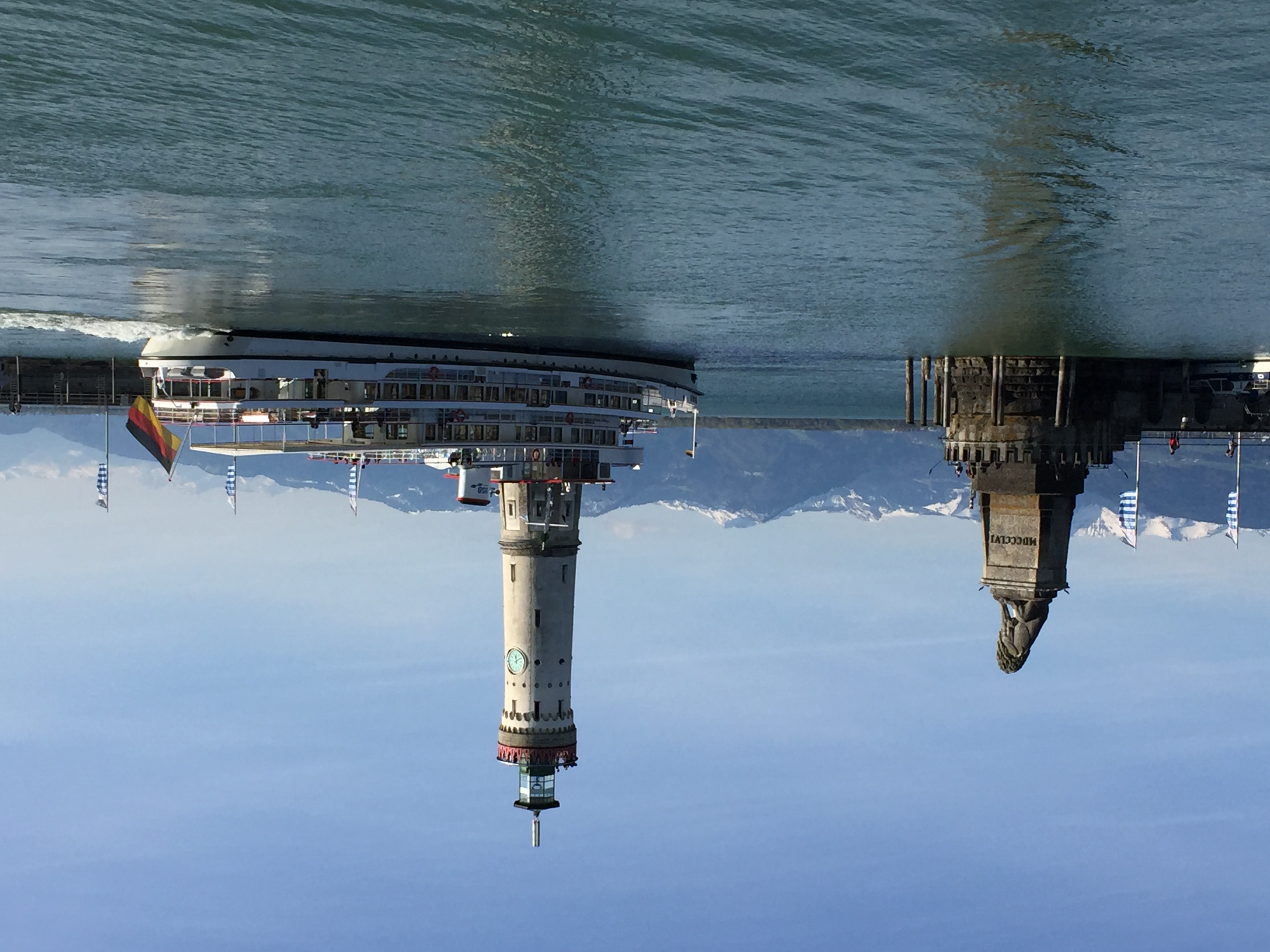
The vegetable island of Reichenau in Untersee is the largest island in Lake Constance with 430 hectares, followed by the island of Mainau in the east of Obersee. The flower island of Mainau with its baroque Teutonic Order castle, parts of which are open to visitors, is also very well known.
Navigation and water levels
Navigation on Lake Constance is easy, as there are actually no shallows below 2 meters seaward of the lake marks at a Constance water level of 2.5 meters (with the exception of Altenrhein). The shallow water and nature conservation zones all extend along the shore zones and are marked with numbered lake marks. On the Obersee, the numbering starts from lake marker 1 in the Konstanz funnel and runs clockwise along the shore to lake marker 99 in front of the mouth of the Old Rhine. In front of the Swiss shore, it then starts again at 1 and runs to lake marker 40 in front of Kreuzlingen harbour.
The depth information in the relevant area guides refers to a reference level of 2.50 meters in Constance, which is only reached every few years at low tide. To calculate the current depth, you need the current value of the Constance gauge and then convert this to the reference level. The depth information in the maps, however, does not refer to the reference level, but to a height of 395.45 meters above sea level, which corresponds to a Constance Bridge level of 3.56 meters. In practice, however, this hardly matters.
Lake Constance climate
- Strong wind warning: 40 orange flashes per minute (wind gusts between 25 and 33 knots)
- Storm warning: 90 orange flashes per minute (wind gusts of over 33 knots)
Ports on Lake Constance
The nautical infrastructure on Lake Constance is excellent. The offer ranges from large, privately operated marinas to municipal harbors and yacht clubs with their own moorings. Ports such as Constance or Bregenz offer the opportunity to discover the lively life and historic city centers, while the Swiss marina Rheindorf, for example, is more suitable for nature lovers seeking peace and quiet.
Most marinas have guest berths, which can either be requested from the harbour master or identified by the "Berth occupied / free until" signs typical of Lake Constance. Mooring in a box is the most common method of mooring a yacht on Lake Constance. Attention should be paid to the length and above all the width of the dolphins. However, many harbors also have jetties for mooring. The common method of mooring with mooring lines in the Mediterranean is rarely used on Lake Constance.